カカボラジ山 / Hkakabo Razi


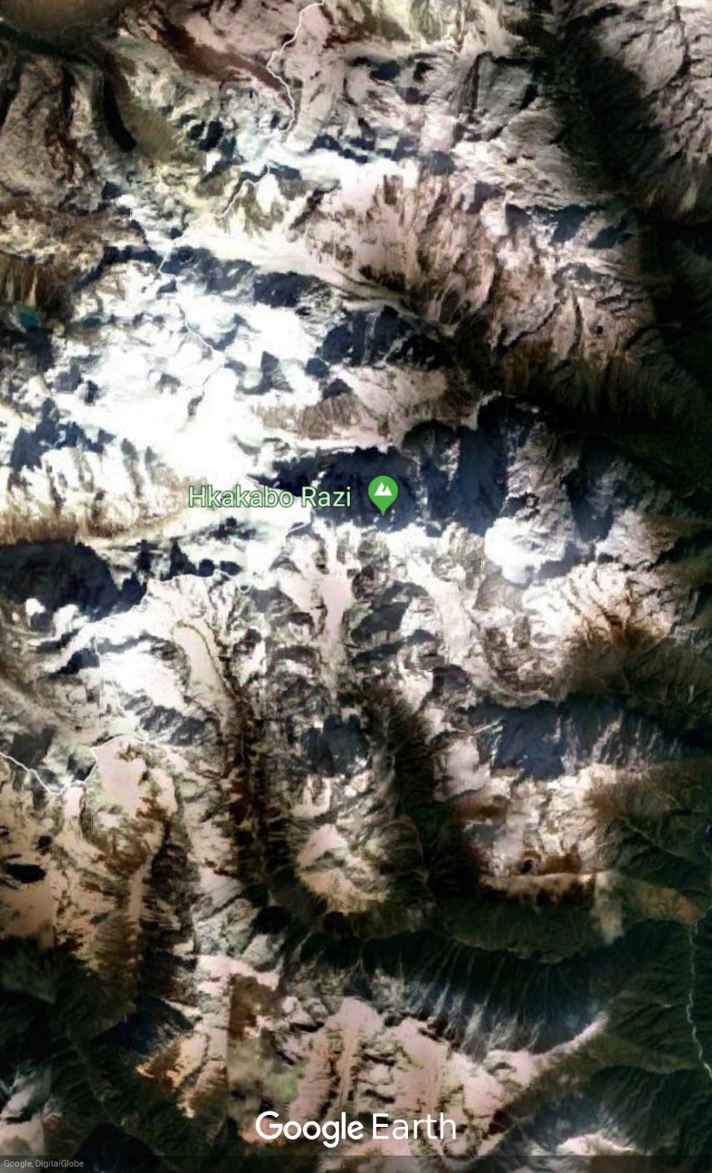
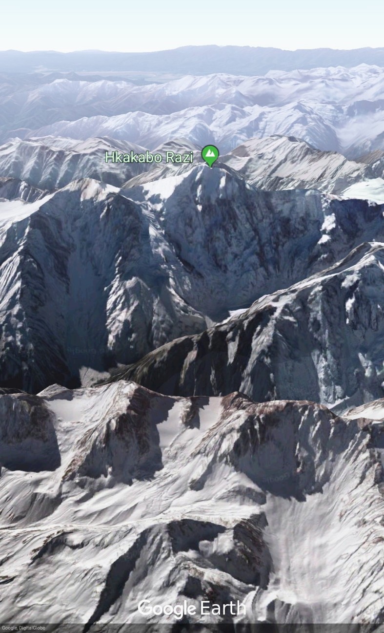
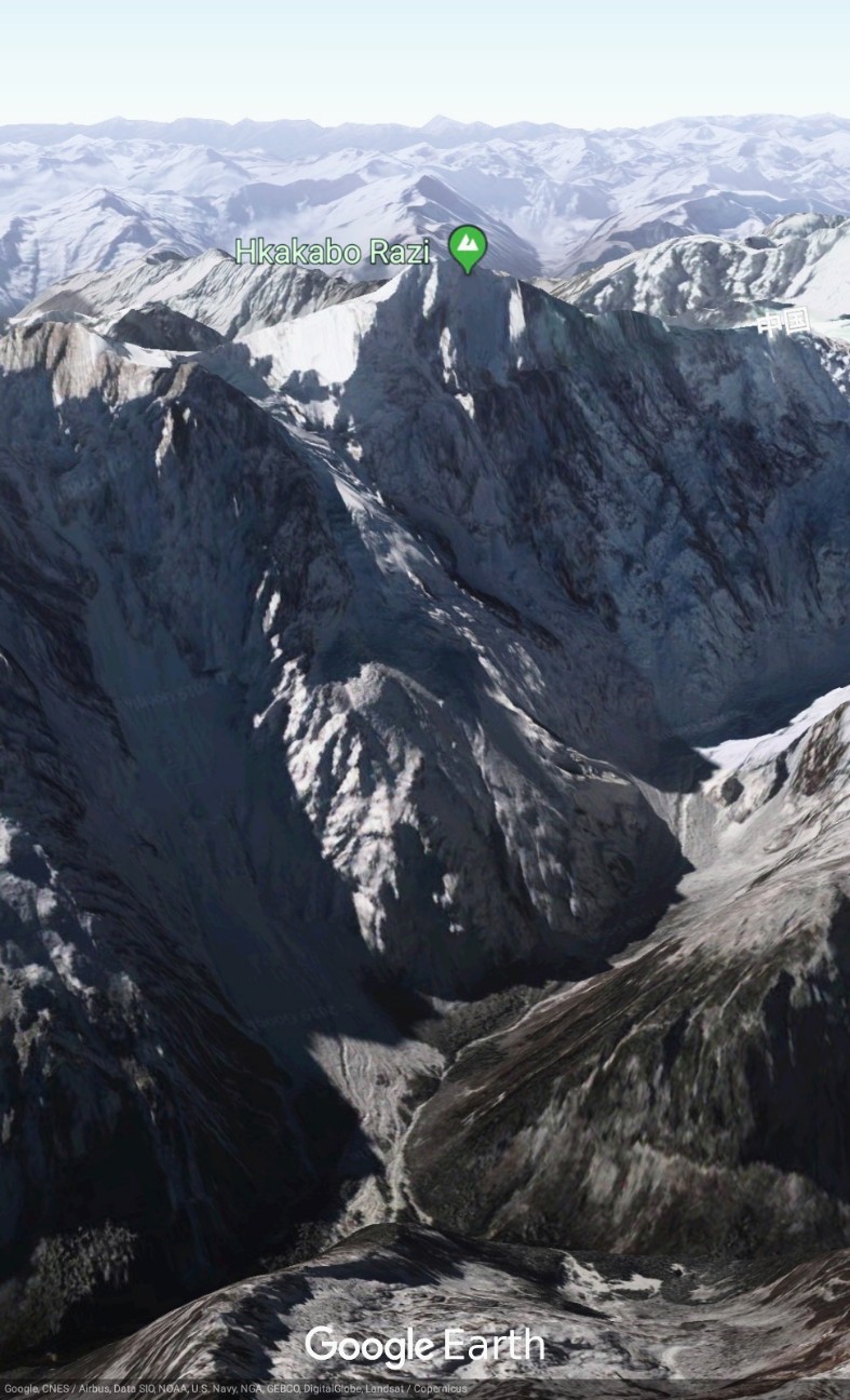
【Hkakabo Razi】Google Earthで世界の山々を眺めてみよう。カカボラジ山(ビルマ語: ခါကာဘိုရာဇီ)は、ミャンマー北部のカチン州最北部に位置する標高5,881mの山。1996年に日本の尾崎隆とミャンマーのニャマ・ギャルツェンが初登頂した。#googleearth https://t.co/y1yr5l2hmV pic.twitter.com/VXsYmKC8YL
— Google Earth Photo Traveler@HITOJII (@findoutwonder) 2019年4月6日
SHARE REVIEWS FROM GOOGLE MAP
Hkakabo Razi
(TRANSLATED BY GOOGLE)
私は地質図書でそれを覚えています。その高さは標高19298フィートであり、エベレストの数は世界一高い山は29028フィート、ガンランは19148です。
そしてKhakaboraziは東南アジアとミャンマーで最も高い山です!しかし、現在、GanlanraziはMapsでは見つかりませんでした。
(ORIGINAL TEXT)
I remember it in geology books,its' height is 19298feet above sea level and @Mount Everest ,the highest mountain over the world is 29028ft.and Ganlan razi 19148. And Khakabo razi is highest mountain in Southeast Asia and Myanmar! But now Ganlan razi was not found in Maps.
QUOTE SOURCE:Google マップ
(TRANSLATED BY GOOGLE)
東南アジア最大の山頂。HkakaboRaziは、1996年1月30日と1998年11月10日に国立公園として自然保護区として設立されました。Khakaborazi国立公園は、ミャンマーの生物多様性の最後の拠点です。
(ORIGINAL TEXT)
Highest mountain peak in Southeast Asia. Hkakabo Razi was established as a natural reserve on January 30, 1996 and as a national park on November 10, 1998. The Khakaborazi National Park is the last stronghold for biodiversity in Myanmar.
QUOTE SOURCE:Google マップ
(TRANSLATED BY GOOGLE)
この間、私は、パプアアのPuncakJayaが東南アジアで一番高い山であると信じています.1番目は、HakakaboRaziです。HkakaboRaziはミャンマーとチベットとの境界にある東南アジアで最も高い山です。
(ORIGINAL TEXT)
Selama ini, saya percaya kalau Puncak Jaya di Papua menjadi Gunung tertinggi di Asia Tenggara, nomor 1. Ternyata yang megang pertamanya adalah Hkakabo Razi. Hkakabo Razi merupakan gunung tertinggi di Asia Tenggara, berbatasan antara Myanmar dengan Tibet, China.
QUOTE SOURCE:Google マップ
(TRANSLATED BY GOOGLE)
ただ、補正:Googleマップの「カカボラジ山」と表示された山が間違っています。カカボラジ山は、ミャンマーと中国の国境に、WSWへ約7キロに高い山です。
(ORIGINAL TEXT)
Just a correction: The mountain labeled "Hkakabo Razi" on Google Maps is incorrect. Hkakabo Razi is the higher mountain approximately 7 kilometers to the WSW, on the Myanmar-China border.
QUOTE SOURCE:Google マップ
LEARN ABOUT HKAKABO RAZI
Hkakabo Razi (Burmese: ခါကာဘိုရာဇီ, pronounced [kʰàkàbò ɹàzì]; simplified Chinese: 开加博峰; traditional Chinese: 開加博峰; pinyin: Kāijiābó Fēng) is believed to be Myanmar's highest mountain, and with its height of 5,881 metres (19,295 ft) the probable highest mountain in South East Asia. It is located in the northern Myanmar state of Kachin in an outlying subrange of the Greater Himalayan mountain system near the border tri-point with India and China. Its highest status has recently been challenged by Gamlang Razi (5870 m), located about 6.6 kilometres (4.1 mi) WSW on the Chinese border.
The peak is enclosed within Khakaborazi National Park. The park is entirely mountainous and is characterized by broad-leaved evergreen rain forest, a sub-tropical temperate zone from 8,000 to 9,000 feet (2,400–2,700 m), then broad-leaved, semi-deciduous forest and finally needle-leaved evergreen, snow forest. Above 11,000 feet (3,400 m), the highest forest zone is alpine, different not only in kind from the forest, but different in history and origin. Still higher up, around 15,000 feet (4,600 m), cold, barren, windswept terrain and permanent snow and glaciers dominate. At around 17,500 feet (5,300 m), there is a large ice cap with several outlet glaciers.
Takashi Ozaki (Japan, 1951-May 14, 2011) and Nyima Gyaltsen (aka "Aung Tse"; Burma) made the first ascent in 1996. Ozaki had attempted the mountain in 1995 but was turned back due to bad weather. The route to basecamp is long (four weeks) and arduous through dense rain forest with many unbridged stream crossings. The recentness of the first ascent can also be attributed to the policy that foreigners were not allowed into the area until 1993.
In 2013, the nearby peak of Gamlang Razi was climbed and measured at 5,870 meters (19,259 ft) using an advanced version of GPS, making it possibly the highest in Myanmar.Ozaki had confirmed Hkakabo's height as 5881 m, but he did not yet have the GPS equipment to measure the exact height of Hkakabo Razi.
In August 2014 an all-Burmese expedition took a new route up the north face. Two team-members, Ko Aung Myint Myat and Ko Wai Yan Min Thu, reached the summit on August 31 for the second ascent of the mountain, placing a flag, plaque and Buddha image at the summit. The climbers ran out of battery power right after reaching the summit and radio contact was lost. After they failed to return to the lower camps, a rescue operation was launched. The search for the missing climbers continued into October. It involved a helicopter crash landing, leading to the death of one pilot and an 11-day survival trek by the other pilot and the passenger mountaineer.
In November 2014, a National Geographic Society / The North Face sponsored expedition set out to measure the height of Hkakabo Razi using the same equipment as the Gamlang Razi team. The 2014 group was led by Hilaree O'Neill, and also included Mark David Jenkins, Cory Richards, Renan Ozturk, Emily Harrington and Taylor Rees. On November 7, 2014, Jenkins, Richards, and Ozturk made the final attempt at the summit but turned back at 5,742 meters (18,840 ft). They estimated that the summit was an additional 800 feet (ca. 240 meter) higher.
In August 2018 it was announced that three Myanmar mountaineers would ascend the mountain sometime that year, but for various reasons the team postponed the climb until further notice.
※日本語版のカカボラジ山 - Wikipediaを読む。
(Source of Hkakabo Razi is Wikipedia)
REFER TO THE SITE (URL) SHOWN BELOW

