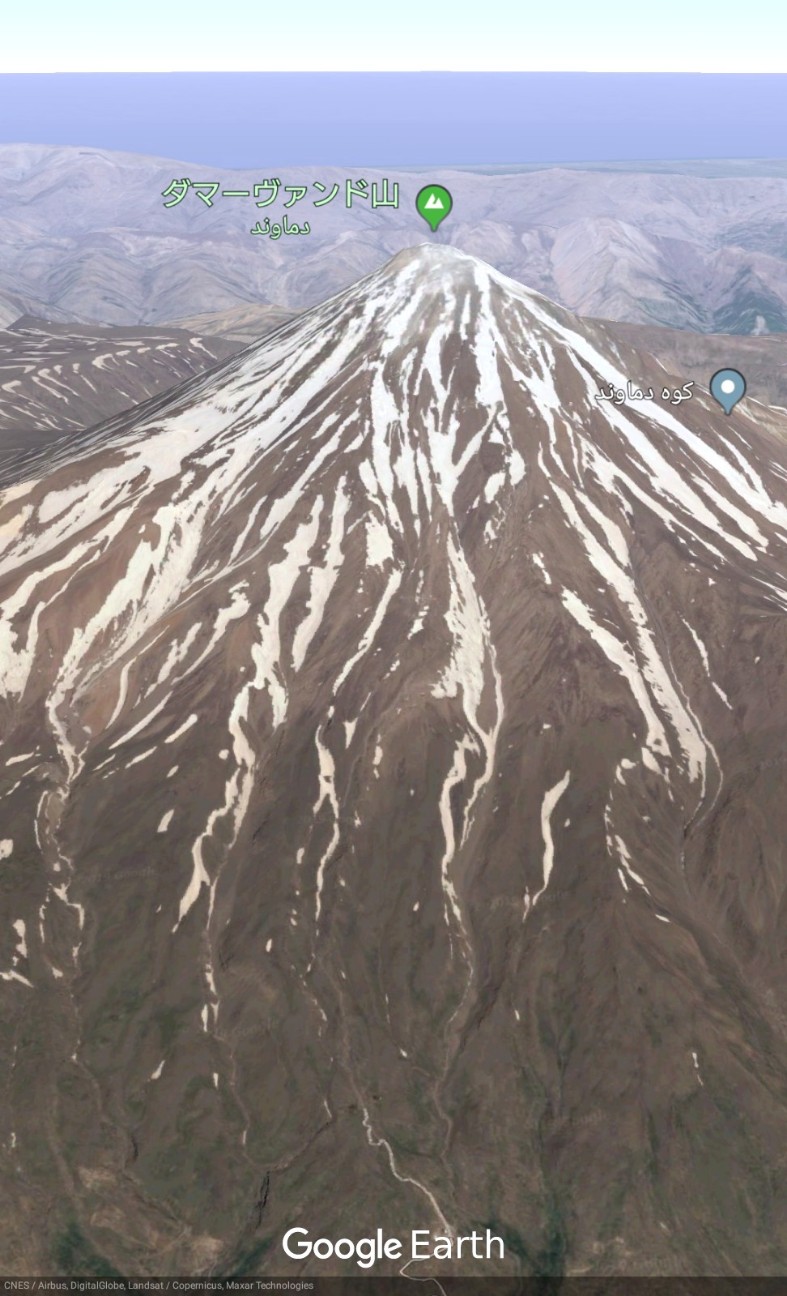
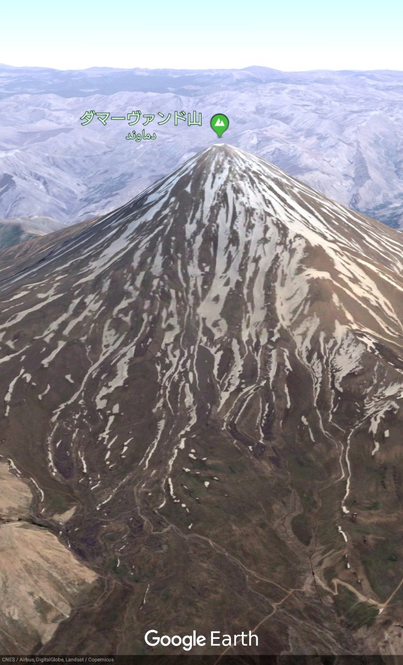
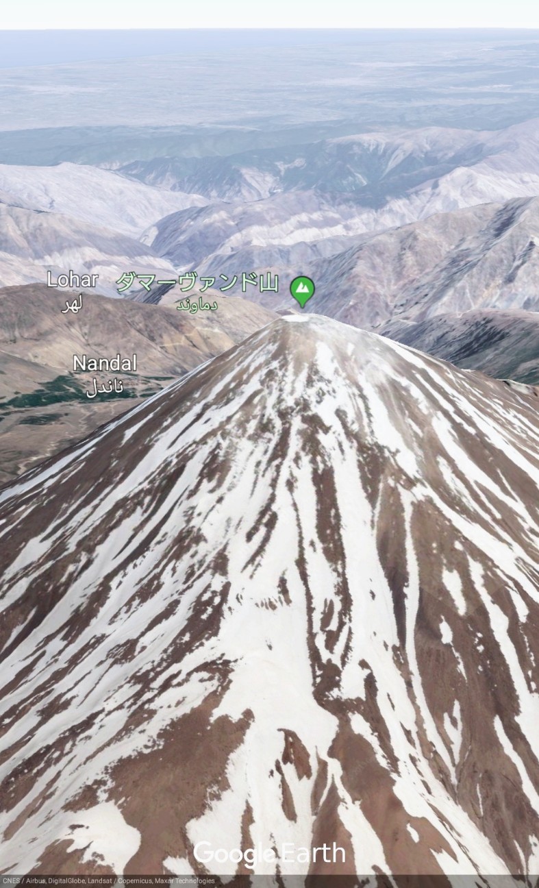
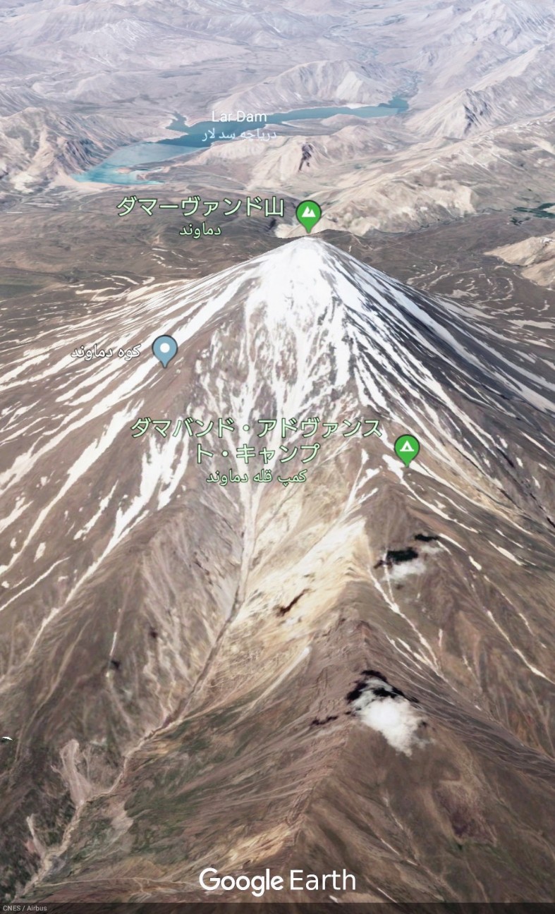
ダマーヴァンド山 / Mount Damavand


【Mount Damavand】Google Earthで世界の山々を眺めてみよう。ダマーヴァンド山(ペルシア語: دماوند) は、イランにある火山。アルボルズ山脈中部にあり、標高は5,610m。イランの最高峰であり、アジア全土で最も高い火山。#googleearth https://t.co/Rkilu2mP6H pic.twitter.com/LUWX24JZNM
— Google Earth Photo Traveler@HITOJII (@findoutwonder) 2019年6月2日
SHARE REVIEWS FROM GOOGLE MAP
(TRANSLATED BY GOOGLE)
高度4350mの素晴らしいキャンプサービス、とても美味しくて新鮮な食べ物、フレンドリーなスタッフ、そして雲の上のこのような美しいキャンプエリアで数泊過ごすための快適なテント。彼らはどの面でも環境を気にしている。
(ORIGINAL TEXT)
Great camp service at altitude 4350 m, very tasty and fresh food, friendly staff and comfortable tent to spend several nights at such a beautiful camp area over clouds. They care about environment in any side.
QUOTE SOURCE:Google マップ
(TRANSLATED BY GOOGLE)
北側からDamavandサミット(中東で一番高い山)に到達する前に最後の停留所のための素晴らしい場所。北側は南側よりもはるかに混雑していないので、テヘランからの距離を考慮しても理にかなっています。キャンプを管理しているチームは非常に親切であり、役立ちますが、英語は話せません。テントは広々としています。あなたが道路や村からかなり離れていると考えると、食べ物は良いです。注意点:標高の約4200m上にあるので、すでに高度の病気になる可能性があります。水が流れていない
(ORIGINAL TEXT)
A great place for the last stop before reaching the Damavand summit (the highest mountain in the Middle East) from the Northern side. Northern side is much less crowded than Southern, so it makes sense even considering longer distance from Tehran. The team managing the camp is very hospitable and helpful, but they don't speak English. Tents are spacious. The food is good considering you are pretty far from any road or village. Caveats: Around 4250m above the see level, so you already can get altitude sickness. There is no running water
QUOTE SOURCE:Google マップ
(TRANSLATED BY GOOGLE)
ヨーロッパからテヘランヘのある飛行では、常に白い海の孤独な島のように見える雲の中から常に雪が降っています。非常に記憶に残る光景!
(ORIGINAL TEXT)
On certain flights from Europe to Tehran the always snow capped peak sticks out of clouds strikingly looking like a lone island in a sea of white. Quite a memorable sight!
QUOTE SOURCE:Google マップ
(TRANSLATED BY GOOGLE)
夏は非技術的です。速く、タフで経済的。比較的まっすぐな上昇は、高山病による本当の致命的な危険を裏切ります。イラン人は一般的に標高が高い(500-1000m)ので、外国人はベースキャンプで地元の人より1~2日長く慣れなければなりません。あなたのトレーニングに合うように季節ごとに異なる課題を提示するいくつかのルートがあります。これについては経験豊富なガイドに相談してください。私たちが大切にしている他の山々と同じように、あなた自身のゴミを落としてください。あなたがしなければならないならば、それをするためにラバを雇います。廃棄物管理に関するガバナンスはほぼゼロです。それはすべてクライマーに依存しています。
(ORIGINAL TEXT)
Non-technical in the summer. Fast, tough and economical. The relatively straight ascent betray the real lethal risk from altitude sickness. Foreigners should acclimatise 1-2 days longer than locals at base camp as Iranians generally live in higher altitude (500-1 000m). There are a few routes up that offer different challenges in different seasons to suit your training. Do consult an experienced guide on this. As with any mountains we cherish, bring down your own rubbish. Hire a mule to do that if you have to. There is near zero governance on waste management. It's all dependent on the climbers.
QUOTE SOURCE:Google マップ
(TRANSLATED BY GOOGLE)
イランの山岳ガイドとして、私は世界中からの多くの観光客とそれをしました、そして、いつも彼らはそれが信じられないと言います。
あなたがイランで最も高い山に達することはあなたにとって大きな記憶になると確信しています。
あなたが情報を必要とするならば、またはさらにこの素晴らしい山でGPSトラックと山ガイドを必要とするならば、私に知らせてください。
(ORIGINAL TEXT)
As a mountain guide in Iran I did it with many of tourists from all around the world and always they will say that was incredible. I'm sure it will be a great memory for you to reach the highest mount in Iran. Let me know if you need information or even GPS track and mountain guide in this great mountain.
QUOTE SOURCE:Google マップ
(TRANSLATED BY GOOGLE)
そのイランで最も高いピーク。多くの詩人がそれについて書いています。ダマバンドピークはイランのシンボルです。その非常に美しい潜在的に活動的な火山は、成層火山です。
ダマバン山は世界で12番目に顕著な山であり、エベレストに次いでアジアで2番目に顕著な山です。それはアジアで最も高い火山山であり、そして火山の7つの山頂登山の挑戦の一部です。標高は5609mです。
(ORIGINAL TEXT)
Its The highest peak in Iran. Many poets have written about it. Damavand Peak is the symbol of Iran. Its very beautiful potentially active volcano, is a stratovolcano. Mount Damavand is the 12th most prominent peak in the world, and the second most prominent in Asia after Mount Everest. It is the highest volcanic mountain in Asia, and part of the Volcanic Seven Summitsmountaineering challenge. The elevation is 5609m.
QUOTE SOURCE:Google マップ
LEARN ABOUT MOUNT DAMAVAND
Mount Damavand (Persian: دماوند [dæmɒːvænd] ), a potentially active volcano, is a stratovolcano which is the highest peak in Iran and the highest volcano in Asia; the Kunlun Volcanic Group in Tibet is higher than Damāvand, but are not considered to be volcanic mountains. Damāvand has a special place in Persian mythology and folklore. It is in the middle of the Alborz range, adjacent to Varārū, Sesang, Gol-e Zard, and Mīānrūd. It is near the southern coast of the Caspian Sea, in Amol County, Mazandaran Province, 66 kilometres (41 miles) northeast of the city of Tehran.
Mount Damāvand is the 12th most prominent peak in the world, and the second most prominent in Asia after Mount Everest. It is part of the Volcanic Seven Summits mountaineering challenge.
A major settlement for mountain climbers is the new Iranian Mountain Federation Camp in the village of Polour, located on the south of the mountain.
There are at least 16 known routes to the summit, with varying levels of difficulty. Some of them are dangerous and require rock climbing. The most popular route is the southern route which has steps and a camp midway called Bargah Sevom Camp/Shelter at 4,220 m (13,850 ft). The longest route is the Northeastern and it takes two days to reach the summit starting from downhill village of Nāndal and a night stay at Takht-e Fereydoun (elevation 4,300 m (14,100 ft), a two-story shelter. The western route is noted for its sunset view. Sīmorgh shelter in this route at 4,100 m (13,500 ft) is a newly constructed two story shelter. There is a frozen waterfall/icefall (Persian name Ābshār Yakhī) about 12 m (39 ft) tall and the elevation of 5,100 m (16,700 ft) is the highest fall in Iran and Middle East.
※日本語版のダマーヴァンド山 - Wikipediaを読む。
(Source of Mount Damavand is Wikipedia)
REFER TO THE SITE (URL) SHOWN BELOW

